
Mount Tamalpais, Marin County Live Cam
| Status: | Webcam online |
| Country: |  United States (USA) |
| Timezone: | GMT-07:00 |
| Tags: | |
| Broadcast last updated: | 14.10.2026 |
| Webcam last checked: | 14.10.2026 |
Weather and time
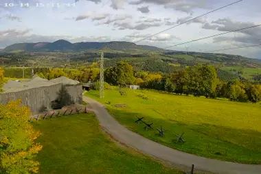
This camera looks out from the summit ridge of Mount Tamalpais in Marin County across Richardson Bay toward San Francisco. Alcatraz, the Bay Bridge and the downtown skyline appear in the distance beyond the Sausalito waterfront and its marinas.
Mount Tamalpais rises 784 meters just north of the Golden Gate and is the highest peak of the Marin Hills. Most of the mountain is protected land, including Mount Tamalpais State Park and the Mount Tamalpais Watershed, with trails and fire roads. Antennas and communications equipment stand along its summit ridge, above Mill Valley and the shores of Richardson Bay.
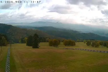
The camera moves between several views. A long zoom reaches across the bay to the city skyline, while a wider shot shows the green slopes below the summit and the wooded ridges running toward the Marin Headlands, with the Pacific on the right.





















 Español
 Deutsch
 Français
 日本語
日本語 Italiano
 Polski
 Português
 Nederlands
 Русский
 Türkçe
 简体中文
简体中文 한국어
한국어 Tiếng Việt