
Kunyang to Xiaofengkou, Hehuanshan Live Cam
| Status: | Webcam online |
| Country: |  Taiwan |
| Timezone: | GMT+08:00 |
| Tags: | |
| Broadcast last updated: | 19.10.2026 |
| Webcam last checked: | 19.10.2026 |
Weather and time
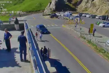
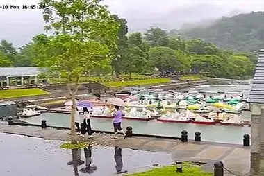
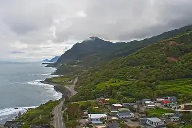
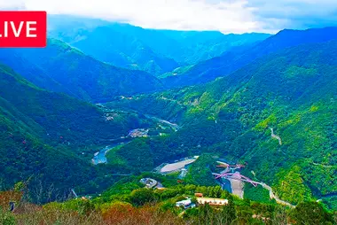
Four panels show Provincial Highway 14A as it crosses the Hehuanshan area, from the Kunyang car park to the visitor centre and Xiaofengkou. Each panel is captioned with its kilometre marker and place name, plus a temperature reading.
The highway climbs from Qingjing Farm to Dayuling. Kunyang lies at kilometre 29.2, Wuling, the highest point of Taiwan's road network, at 31.5, and the Hehuanshan visitor centre near 32.8. The Xiaofengkou station of Taroko National Park follows at kilometre 36.6.
The upper left panel shows the bend at Kunyang, curving past a parking area under grassy ridges. Two panels cover the visitor centre: a junction with a zebra crossing seen from above, and the lane past a wooden building and a traffic signal. At Xiaofengkou, lower right, the road runs downhill beside a large car park. Wuling itself is not in any panel.



















 Español
 Deutsch
 Français
 日本語
 Italiano
 Polski
 Português
 Nederlands
 Русский
 Türkçe
 简体中文
 한국어
 Tiếng Việt


